Tod Van Gunten
Covid in Scotland - Animated Maps
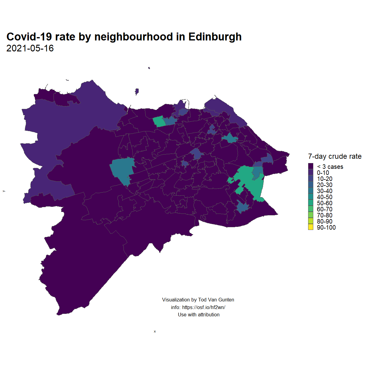
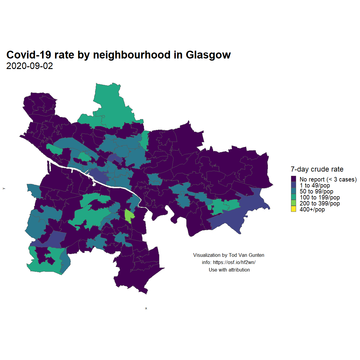
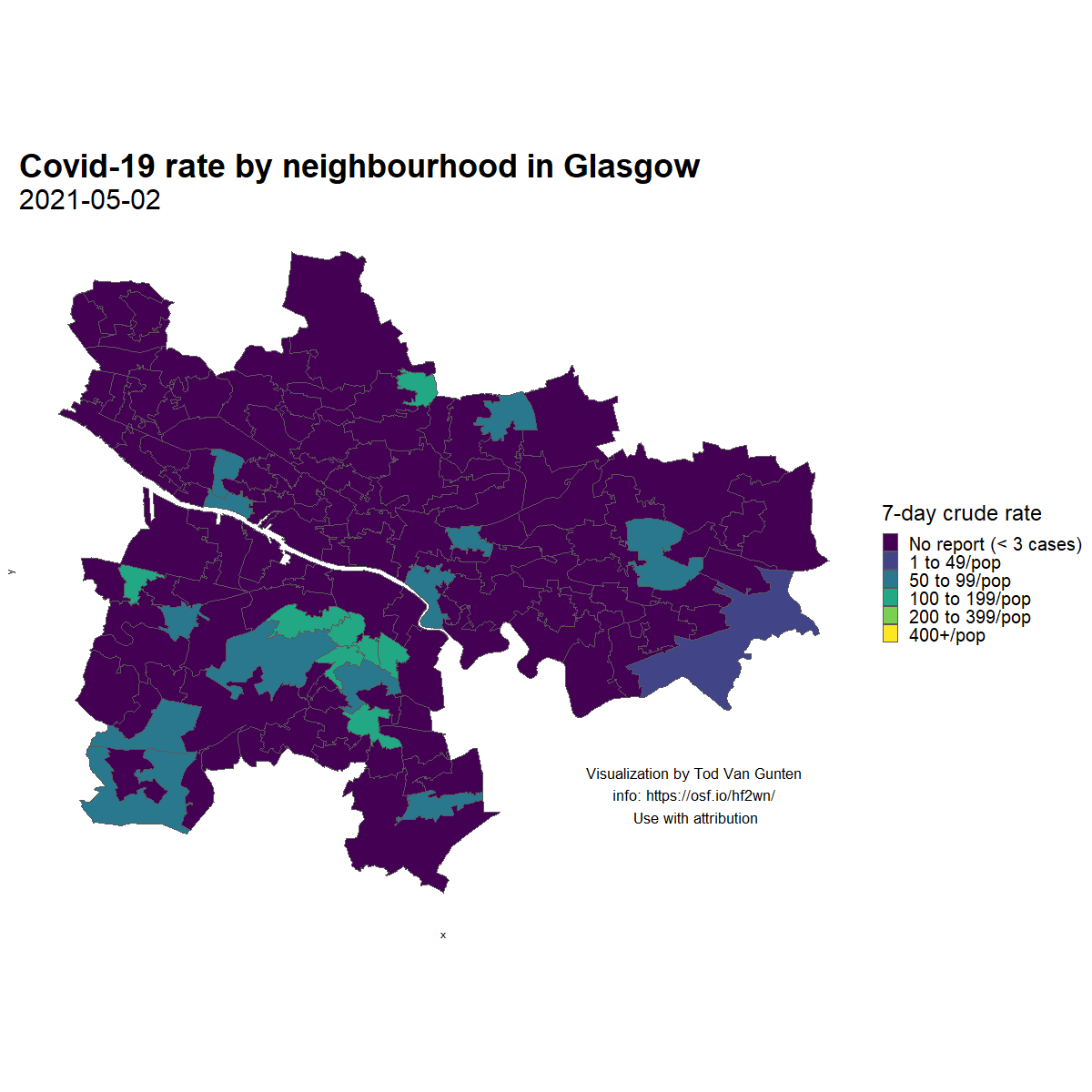
As a 'lockdown project' in 2020, I created these animated maps of neighborhood-level Covid-19 rates in Edinburgh and Glasgow, which illustrate the spatial persistence and spread of the SARS-CoV-2 virus.
Edinburgh, Autumn 2020

Edinburgh, Spring 2021
Glasgow, Autumn 2020
Glasgow, Spring 2021
Scotland Covid data dashboard
In March 2020 I created a dashboard for visualizing Covid-19/Coronavirus data for Scotland. At the time local time series data were not readily available. This information is now much easier to find, and I no longer maintain this app. See press release here.